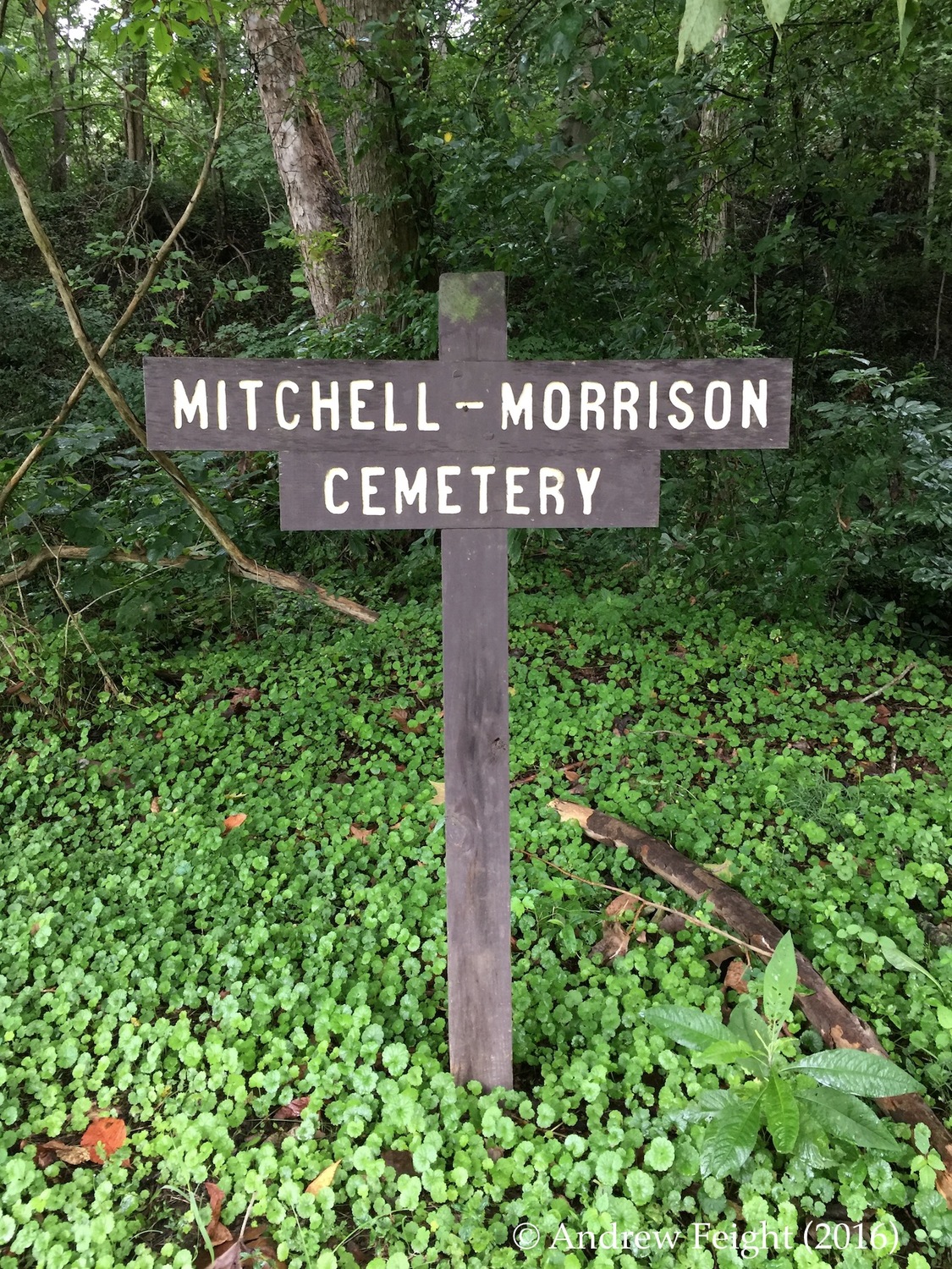
Mitchell-Morrison Cemetery at Moore's Run
A Forgotten Pioneer Era Cemetery in the Shawnee State Forest
Text
Where Moore's Run exits the river hills of Shawnee State Forest, just off modern-day US Highway 52, near the "100 Mile House," one finds a particularly significant pioneer era graveyard, which dates back to the first decades of the nineteenth-century when this section of the shawnee State Forest was first settled, its forested bottom lands cleared for corn and cattle farms and its soon to be famous hillsides first stripped of stone for masonry projects up and down the river.
Moore’s Run flows into the Ohio near the 100 Mile House, which is recognized as being 100 miles down river from Point Pleasant, West Virginia, and 100 miles upriver from Cincinnati. The current structure, a large stone mansion with “37 rooms,” is now a private residence, but in the 1970s and 80s was a popular bed and breakfast, which also operated a restaurant for area residents. The original 100 Mile House built by Joseph Moore, was the first river bottom residence used by steamboat captains as a mileage marker and landmark. According to local lore, the original house, built with local stone, still stands and is located near the Village of Buena Vista, just below Upper Twin Creek on US Highway 52.
The Mitchell-Morrison Cemetery is located on land that once belonged to Joseph Moore and it is with this pioneer that the “Moore’s Run” name originates. The Mitchell and Morrison of the modern-day name reflect the surnames of neighboring settlers and later owners of the original Moore parcel. The cemetery was abandoned in the early twentieth century, when local burials shifted to the cemeteries at nearby McKendree Chapel and Sandy Springs.
In recent years a devastating ice storm hit the forest and graveyard; large trees and broken limbs fell on top of numerous headstones. Here one finds an estimated fifty graves of some of the earliest settlers in Scioto County, including three common pleas court judges: Joseph Moore, David Mitchell, and William Givens. Their stories capture pioneer era life in what became Shawnee State Forest.
Today, the cemetery is surrounded by state owned lands and the Ohio Division of Forestry maintains a trailhead and parking lot here, thus providing public, recreational access to the Shawnee State Forest. Visitors on foot and horseback can access a network of trails that take them deep into a region of the forest known as the Shawnee Backcountry Management Area (“BCMA” or “Backcountry”).
The Ohio Environmental Council has described Moore’s Run and the surrounding BCMA lands as “an ideal candidate for state wilderness designation or, at the least, management for future old-growth habitat characteristics.” If protected by new state-level wilderness legislation, these 8,000 acres would be preserved for recreational and educational use. Once protected from extractive activity, such as commercial logging, mining, drilling, and road building, the additional acreage would double the size of the Shawnee’s “Wilderness Area.”
The Ohio Environmental Council recommendation is for reserving 25 percent of the Shawnee State Forest (some 16,000 acres) as wilderness, leaving some 47,000 acres open to commercial logging activity.
Sources
Evans, Nelson W. A History of Scioto County, Ohio, Together with a Pioneer Record of Southern Ohio (Portsmouth, Ohio, 1902), 73-75.
“A Path to Wilderness in the Shawnee Backcountry,” in “Wilderness Act Turns 50, Ohio Environmental Council (2014). Web. http://www.theoec.org/campaign/part-4-path-wilderness-shawnee-backcountry