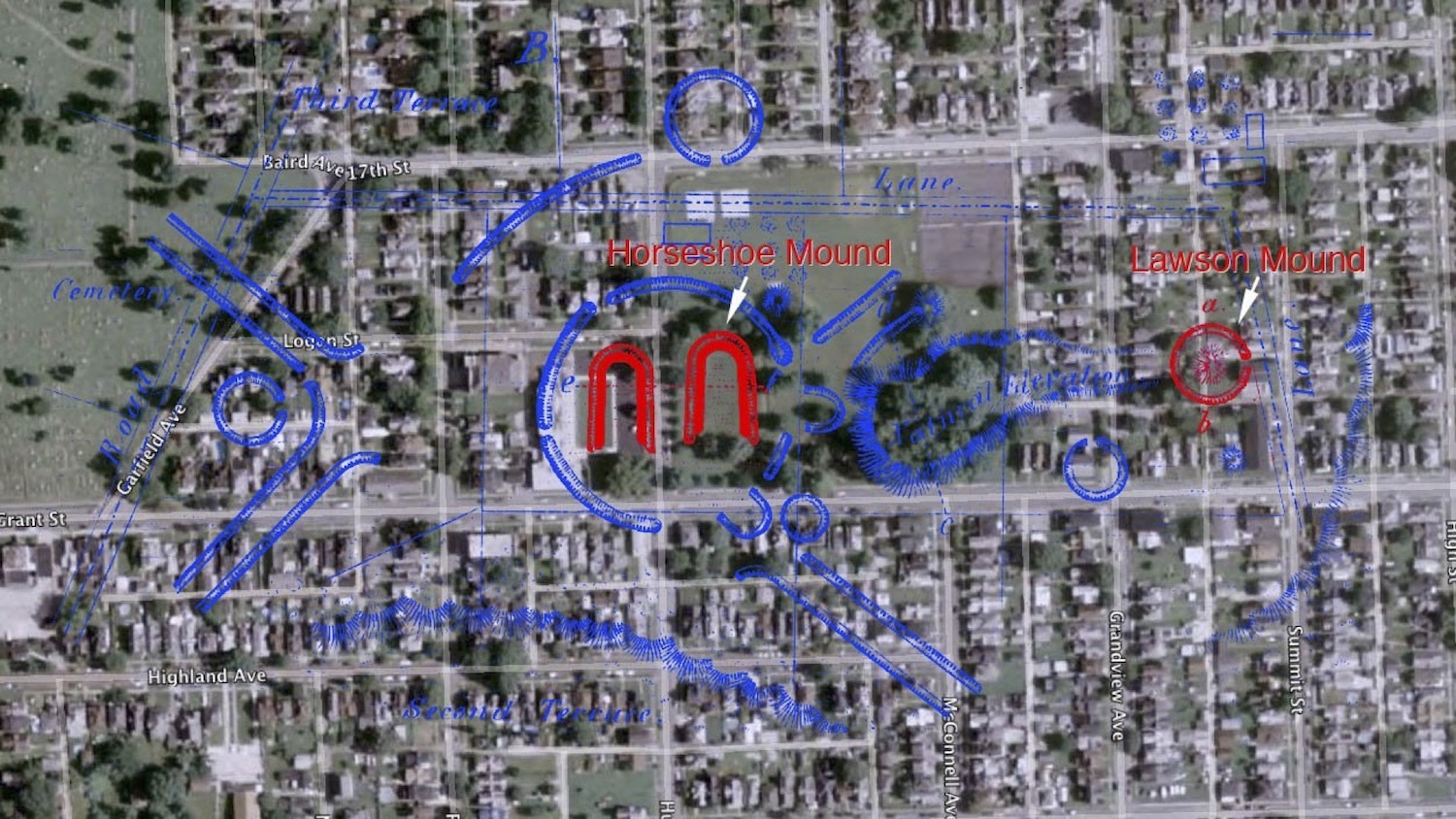
Satellite image of Mound Park Overlaid with Squier and Davis Map of the Central Complex (Group B) of the Portsmouth Earthworks
This file appears in: Mound Park and the Preservation of the Portsmouth Earthworks
This satellite image and map overlay indicates the location of now demolished mounds and earthworks that were originally surveyed and mapped by Squier and Davis in 1847.
This file appears in: Mound Park and the Preservation of the Portsmouth Earthworks
Mound Park and the Preservation of the Portsmouth Earthworks
Portsmouth's Mound Park lays claim to the lone remnant of the central complex of the Portsmouth Earthworks that once spread across the Ohio River over the modern communities of Portsmouth, Ohio and South Portsmouth and South Shore, Kentucky. The…
